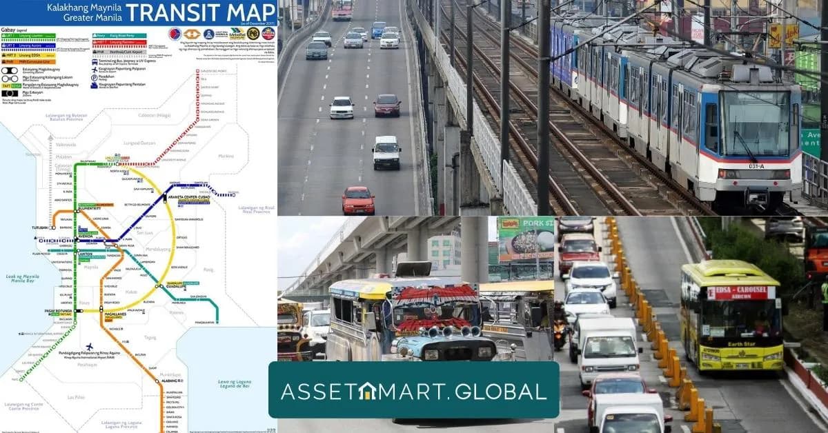
Greater Manila Transit Map: Good Resource for Commuters
Updated on March 28 2026
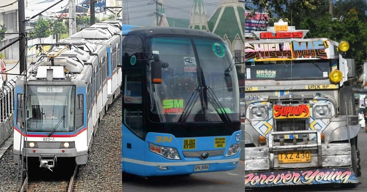
Commuting in the bustling metropolis of Greater Manila can be a daunting and time-consuming task. However, a newly developed tool called the Greater Manila Transit Map is set to revolutionize the way people navigate the city's intricate transportation network. Created by Miguel Arellano, a traveler and geography student, this map serves as a comprehensive resource that encompasses major transportation lines such as the MRT, LRT, PNR, buses, jeepneys, and tricycles. With its color-coded design, fare information, and estimated travel times, the Greater Manila Transit Map provides invaluable assistance to commuters.
Benefits for Commuters
1. Streamlined Decision-Making
The Greater Manila Transit Map simplifies the decision-making process for commuters. With numerous transportation options available, it can be challenging to determine the most suitable mode of transportation for a specific journey. However, this map's comprehensive display of the various lines and connections enables commuters to easily identify the most convenient and efficient routes for their travel needs.
2. Time and Cost Savings
By providing estimated travel times and fare information, the Greater Manila Transit Map empowers commuters to make informed choices that optimize their time and budget. Instead of relying on trial and error, individuals can plan their journeys in advance, avoiding unnecessary delays and reducing transportation expenses.
3. Comparison of Transportation Options
The map's color-coded system enables commuters to quickly discern which lines interconnect, facilitating easy comparisons between different modes of transportation. For instance, when deciding between the MRT and LRT, commuters can refer to the map to determine which line offers a quicker and more convenient route to their destination.
4. Real-Time Traffic Conditions
Incorporating real-time traffic data into the Greater Manila Transit Map would provide commuters with up-to-date information on road congestion and alternative transportation options. This feature would prove particularly valuable during rush hours, allowing commuters to choose less crowded routes and save time during their daily journeys.
Practical Tips for Commuters
1. Neighborhood Exploration
Utilize the Greater Manila Transit Map to identify neighborhoods with convenient public transportation connections. This information can guide decisions about choosing a new place to live or work, ensuring easy access to transportation networks and minimizing commuting hassles.
2. Rush Hour Planning
During peak hours, the map can be a valuable resource for avoiding crowded transportation lines. By identifying less congested routes, commuters can experience a smoother and more efficient journey, saving time and reducing stress.
The Greater Manila Transit Map is an invaluable resource for commuters navigating the bustling streets of Greater Manila. By providing comprehensive information on the city's transportation network, this map streamlines decision-making, saves time and money, and facilitates a more efficient and informed commuting experience for individuals in the metropolis.